Written by Chris Goodell, P.E., D. WRE
Copyright © RASModel.com. 2009. All rights reserved.
*Update: This post is outdated now with the release of HEC-RAS Version 5 and higher. RAS Mapper is now completely different.
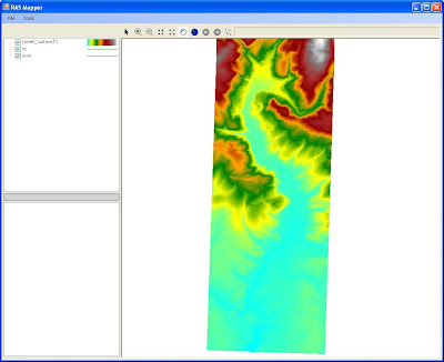
So Riley and I recently gave this a thorough run through. After a few bugs were fixed up, it works quite nicely. The key here is you have to have a terrain model that is spatially and vertically consistent with your RAS geometry. Once you've successfully run your model, and you have a terrain model in the form of a floating point grid format (*.flt), you are ready to map within HEC-RAS (i.e. no ArcGIS required).
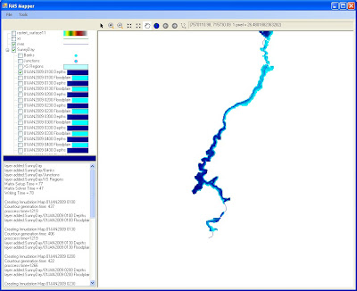
On the main HEC-RAS window, go to GIS Tools...Floodplain Mapping. I know, there is no "GIS Tools" menu item on the main HEC-RAS window. In the next release (4.0.1) there will be. This will bring up the RAS Mapper. It looks like a very basic version of ArcGIS. By default you'll see your river and cross sections plotted in plan view. One of the tools allows you to define a projection, but if everything is consistent, you can bypass this and go right to mapping. Here, you'll be able to bring in your terrain model. This is seriously way too easy. Next you simply click on the profiles you want to map and click "Generate Layers." There you'll see all of the floodplains and associated depth layers that you requested. The only thing missing...animation of the RAS Mapper. Maybe if I ask real nice they'll put that in.
 This is seriously way too easy. Next you simply click on the profiles you want to map and click "Generate Layers." There you'll see all of the floodplains and associated depth layers that you requested. The only thing missing...animation of the RAS Mapper. Maybe if I ask real nice they'll put that in.


